Advanced Aerial Mapping Services (AAMS)
)

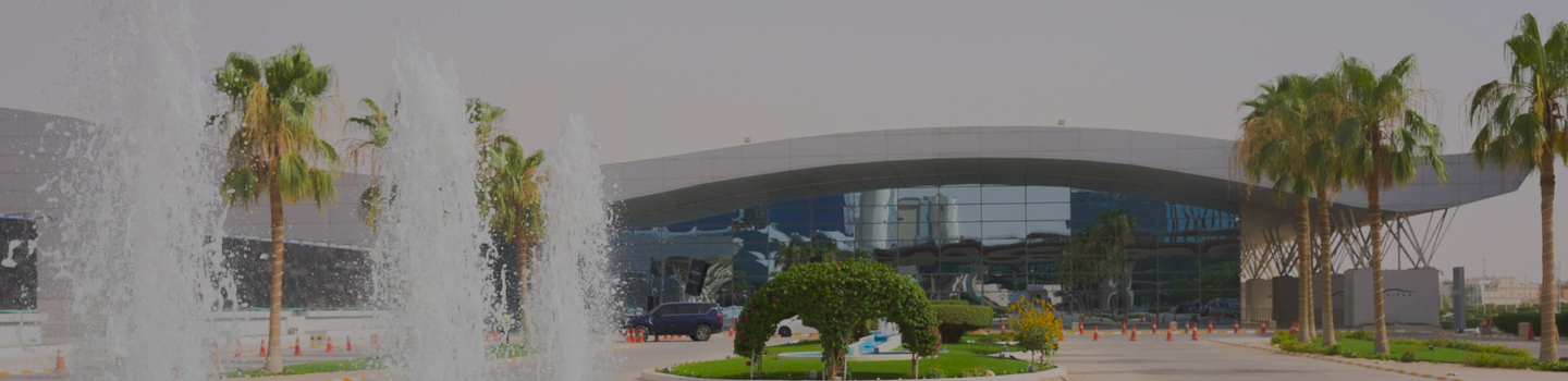
Advanced Aerial Mapping Services (AAMS) is a Saudi-based Geospatial intelligence and Aerial surveying company delivering advanced, data-driven solutions that support the Kingdom’s rapidly evolving landscape, infrastructure, and urban development sectors. Positioned at the intersection of technology, engineering, and environmental planning, AAMS plays a key role in enabling smarter, safer, and more sustainable project delivery in line with Saudi Arabia’s Vision 2030 particularly in large-scale landscaping, public realm development, outdoor environmental transformation and urban planning.
What makes AAMS unique is its fully integrated approach to spatial intelligence. Rather than relying on traditional surveying methods alone, AAMS combines drone-based aerial mapping, geophysical investigation, Ground Penetrating Radar (GPR), and advanced geospatial data analytics to deliver a complete understanding of both surface and subsurface conditions. This end-to-end capability allows clients to reduce uncertainty, minimize project risks, and make faster, more informed engineering and design decisions.
AAMS specializes in high-resolution aerial surveys, topographic mapping, 3D digital terrain modeling, and BIM-integrated geospatial outputs. These services are widely used by landscape architects, urban planners, developers, and government entities to design with greater precision and optimize land use in complex environments. In addition, AAMS provides subsurface utility detection and ground condition analysis, ensuring that excavation and construction activities are carried out safely and efficiently.

One of the strongest demonstrations of AAMS’ capability is its work on the Diriyah project, one of Saudi Arabia’s most significant heritage and urban development initiatives. The scope involved a highly complex geophysical and airborne survey over challenging terrain that was not accessible by foot. Using advanced GPR and UAV (drone) technology, AAMS successfully captured high-accuracy spatial data across the site, enabling the identification of rocky subsurface layers beneath sand deposits.
This information was critical in supporting planned excavation works for deep tree plantation pits reaching up to 3 meters in depth. By understanding the subsurface composition in advance, the project team was able to optimize planting strategies, reduce excavation risks, and ensure the long-term success of the landscaping design.

In parallel, AAMS conducted a comprehensive Ground Penetrating Radar (GPR) survey to detect and map underground utilities within the project area. This was essential for ensuring safe excavation for landscaping and tree planting activities, preventing potential damage to buried infrastructure, and avoiding costly project delays. The integration of aerial and subsurface data provided a complete geospatial picture of the site, significantly improving planning accuracy and construction safety.
Beyond individual project success, AAMS continues to contribute to the broader transformation of Saudi Arabia’s built environment. The company’s solutions are increasingly adopted in mega landscaping developments, smart city projects, public parks, road corridors, and residential communities where environmental quality, efficiency, and safety are critical.
AAMS is also highly focused on sustainability and operational efficiency. By replacing or complementing traditional ground-based surveying methods with drone technology and remote sensing, the company significantly reduces field time, enhances data accuracy, and minimizes environmental disruption. This approach supports greener project execution and aligns with the Kingdom’s long-term sustainability goals.

With GACA-licensed UAV operations, ISO-certified processes, and a highly skilled multidisciplinary team, AAMS ensures compliance, safety, and reliability across all project stages. The company’s expertise spans aerial surveying, geospatial intelligence, infrastructure inspection, thermal analysis, and subsurface investigation, making it a comprehensive partner for complex landscape and infrastructure projects.
At its core, AAMS is more than a surveying company; it is a geospatial intelligence and technology partner enabling the future of landscape development in Saudi Arabia. By transforming complex terrain and subsurface conditions into clear, actionable insights, AAMS empowers engineers, designers, and decision-makers to build with confidence.
As Saudi Arabia continues to invest in world-class landscapes, green infrastructure, and livable urban environments, AAMS remains committed to supporting this transformation through innovation, precision, and advanced geospatial technology.
)
)
)
)
)
)
)
)
)
)
)
)